

Our Favorite Scenic Drives in the American West
After 23,000 miles in our EarthRoamer, we've learned a few things about the American West. One of them is this: the destination almost never tells the whole story. It's the roads between places — the high passes, the canyon rims, the stretch of highway that becomes something completely unexpected — that define what a trip actually is.
We've driven some genuinely incredible roads at this point. This list isn't about the flashiest names or the most-photographed overlooks. It's about the drives we keep talking about long after the trip is over — the ones we'd take again tomorrow if we could point the rig in the right direction.
If you're traveling in an expedition vehicle, a camper van, or even just a truck with room to sleep in the back, these are roads worth knowing about.
Monitor Pass, California
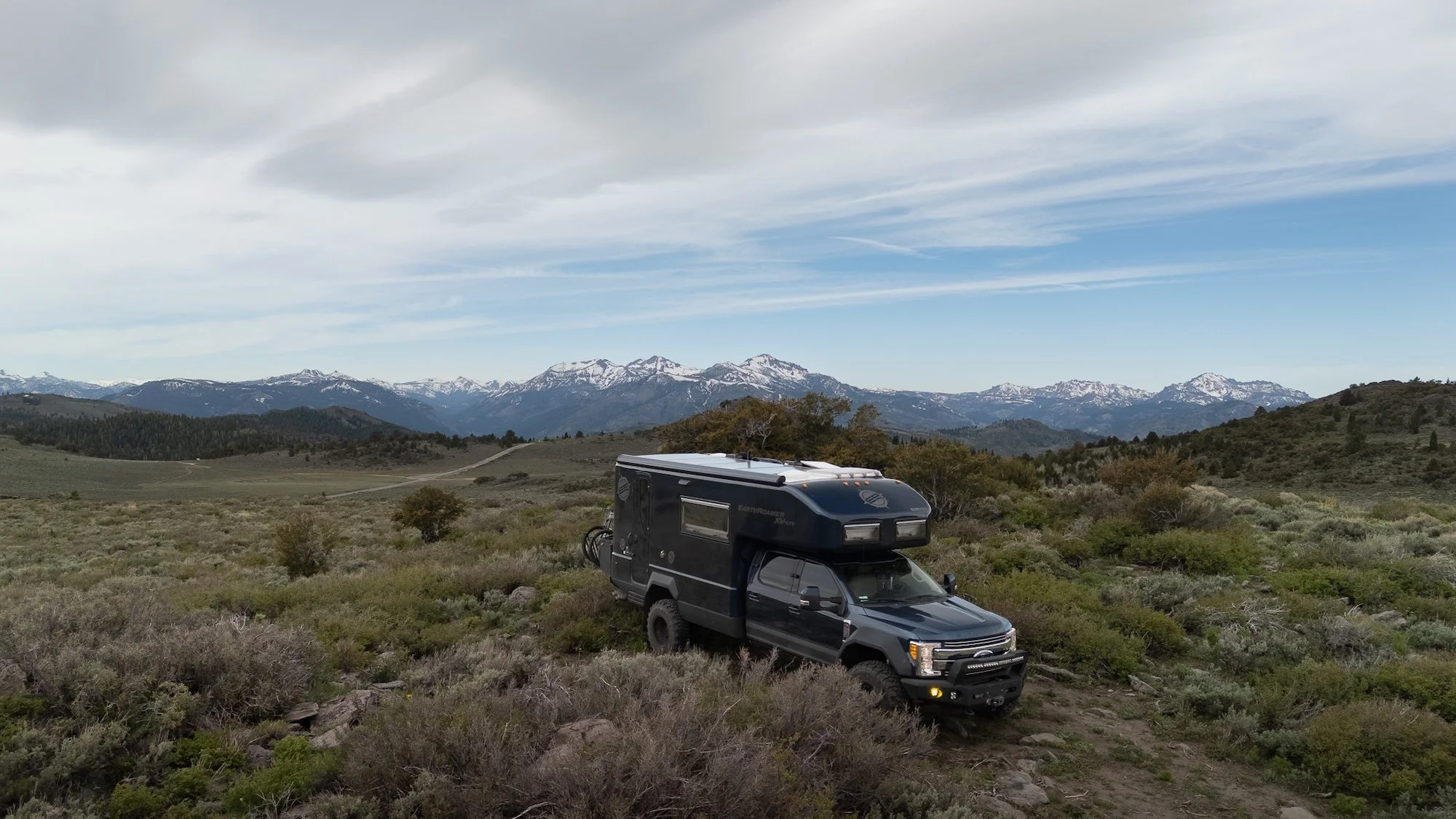
If someone asked us to name the single best driving day from our Highway 395 run — all the way from Central Oregon down to Southern Arizona — Monitor Pass would win without much debate.
We came at it from the east, climbing up from the desert floor toward Markleeville, and the transformation was almost immediate. One minute it was sagebrush and dry heat; the next it was wildflowers spilling down hillsides, snow still patching the distant peaks, and a road that seemed to exist purely for the pleasure of driving it.
The views were outrageous. Snowy peaks in the distance, barely a car in sight.
Monitor Pass is seasonal, so check conditions before you go — it typically closes with winter snow and opens in late spring. But if you're passing through the Eastern Sierra and it's open, this is the detour you don't skip. Come in early summer and you'll likely hit the wildflowers at their peak.
The San Juan Skyway: Silverton to Telluride, Colorado
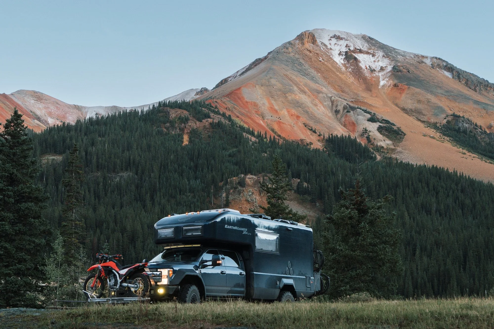
We'd heard people talk about the San Juans for years. Everyone who'd driven through had some version of the same look on their face when they described it. We understood why the moment we got there.
The stretch between Silverton and Telluride is everything the reputation promises, and then a little more. The shelf roads, the switchbacks, the way the mountains just keep stacking on top of each other — it's relentless in the best possible way. You come around one bend thinking you've seen the peak of what this road has to offer, and then the next turn opens onto something completely different.
Last Dollar Road, Colorado
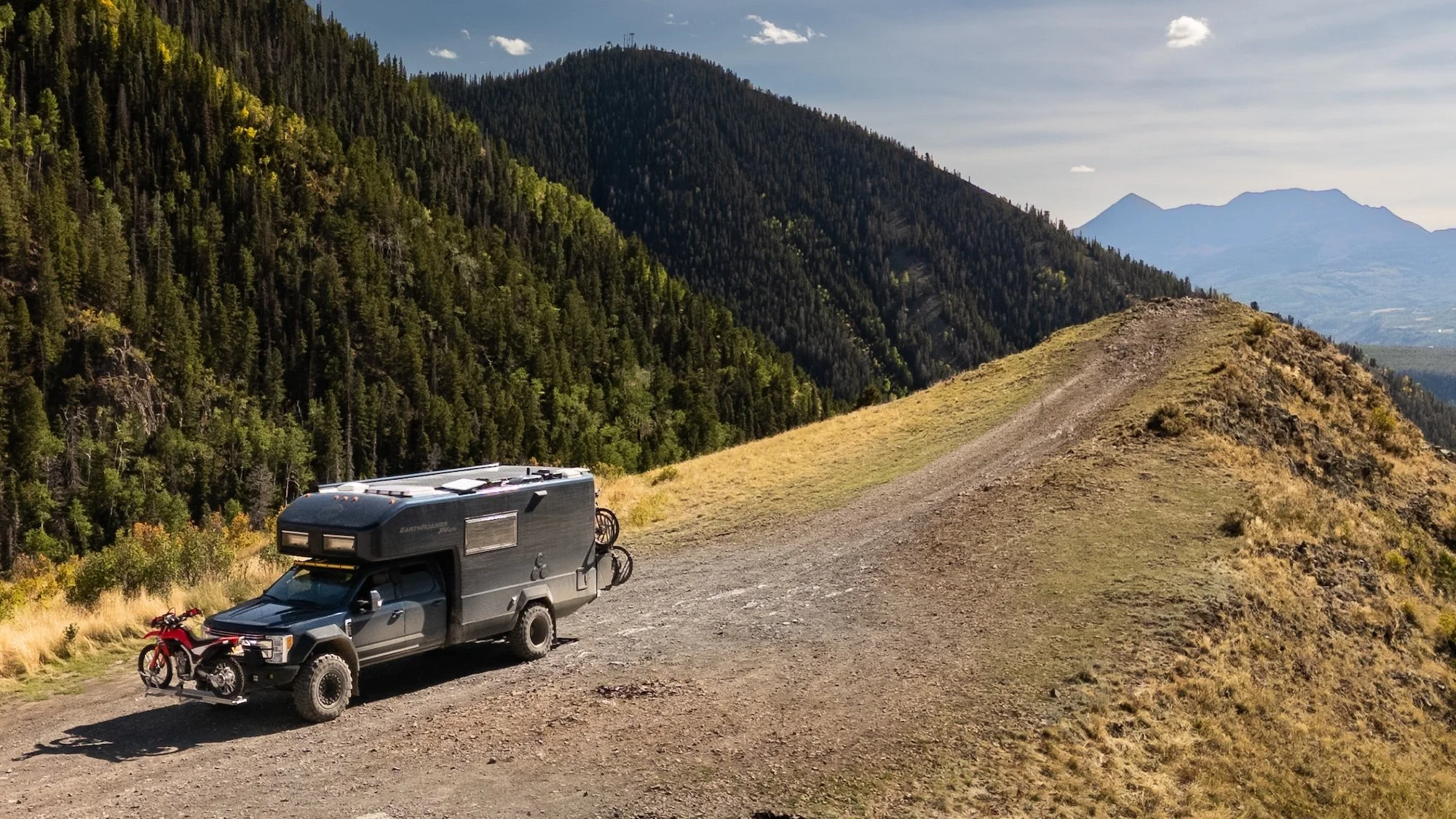
If the San Juan Skyway is the main event, Last Dollar Road is the encore you didn't know you needed.
It runs roughly between Ridgway and Telluride — about 22 miles of unpaved mountain road that climbs through aspen groves, open meadows, and views that spread out in every direction. It's not a technical road by off-road standards, but it's not nothing either.
What made this road for us was the quiet. After driving some of Colorado's more well-known routes, Last Dollar felt almost undiscovered. Just us, the mountains, and the occasional moment where you crest a hill and the entire San Juan range spreads out in front of you like something you'd expect to see framed on a wall somewhere.
We drove it in fall and caught the aspens near their peak — golden leaves against blue skies, mountain light hitting the ridgeline at just the right angle. If you can time it for autumn, do it.
Valley of the Gods Road, Utah
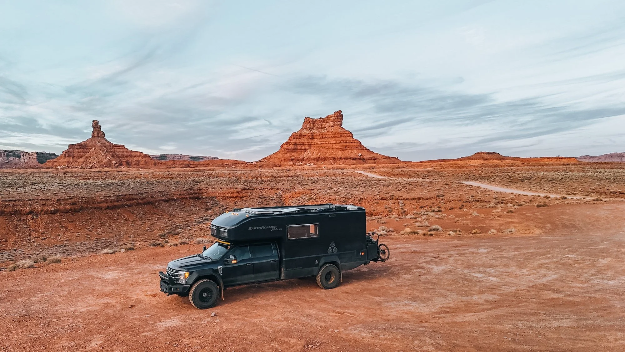
We drove through Valley of the Gods as part of running Section 1 of the Utah Backcountry Discovery Route, and it absolutely deserves its own mention outside of any BDR conversation.
The road winds through a scattered collection of sandstone formations rising up from a wide, flat valley — tall, red-orange, impossibly formed. You drive slowly not because the road demands it, but because you need to take it all in.
From Valley of the Gods, we pushed up to Muley Point, which has unbelievable drop offs and stunning views. The combination of Valley of the Gods and Muley Point makes day we'd rank among the best we've spent in the EarthRoamer. Neither requires heroic off-road capability, but are still a fun challenge.
Oregon's Route 101
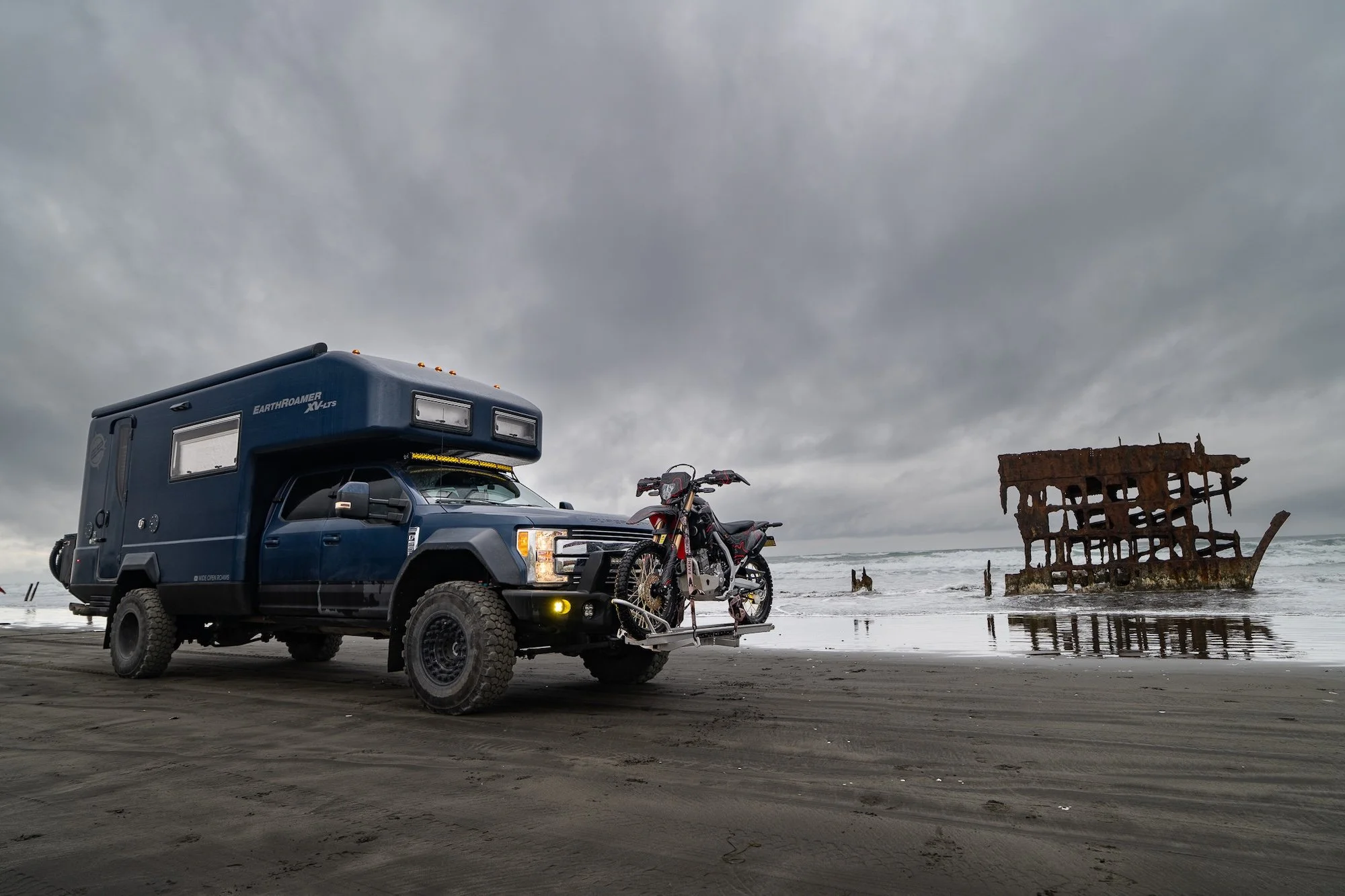
We drove the entire Oregon coastline — all 362 miles from south to north — in the EarthRoamer. The coast road itself alternates between open headlands, forested cliffs, and beach access. Small towns like Bandon and Brookings feel genuinely real — not curated for tourism, but actually lived-in. Pull-offs at places like Indian Sands and Port Orford Heads deliver views that don't require any effort to appreciate. You park, you walk to the edge, and take in the views.
We also got 80 mph winds near Florence. The EarthRoamer rocked through the night in ways that make for great stories once you're on the other side of them. That's the Oregon coast — it's not always cooperative. If you go in late fall or winter, go prepared. If you go in summer, start early before the fog settles in.
How We Plan Roads Like These
For any route we drive, we rely heavily on OnX Offroad to plan ahead, check land ownership, and find dispersed camping along the way. It's become one of the most-used tools in our planning kit. The offline maps alone are worth the subscription for anyone doing serious travel in the West. Combined with a little pre-trip research, it's how we keep finding roads like the ones on this list.
There's Always More Road
This list barely scratches the surface. That's the thing about the American West — every time you pull a thread, you realize there's an entire rope attached to it. Roads we haven't driven yet. Passes that only open for a few weeks a year. Routes that someone mentions in passing and suddenly you're rerouting the whole trip. If any of these drives are already on your list — or if this is the start of your list — we'd love to hear where you're headed.