

The Best Apps for Overlanding, Hiking, and Cycling Trip Planning in 2026
If you’ve ever spent three hours down a rabbit hole trying to plan a single leg of a trip (cross-referencing trail reports, satellite imagery, dispersed camping options, and whether that “road” is actually drivable) then you already know that the right apps don’t just make trip planning easier. They make it possible.
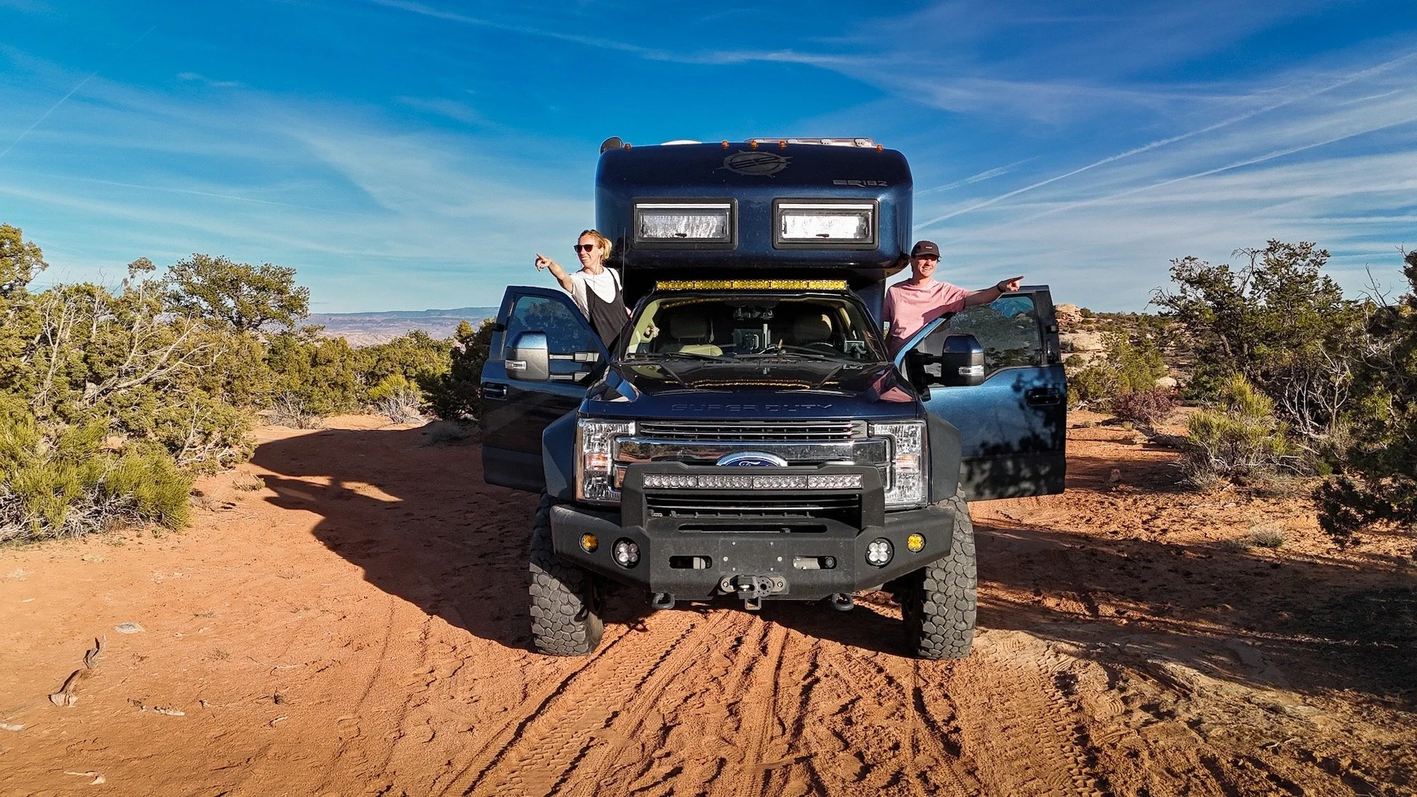
After a year of EarthRoamer life, we’ve put a lot of apps through their paces. Some have become total non-negotiables. Others we keep around for specific situations. Here’s where we’ve landed in 2026 broken down by what you’re actually trying to do.
FOR ROUTE MAPPING & OVERLANDING
onX Offroad gives you access to over 650,000 miles of OHV trails across the US, Canada, and Baja — with vehicle-specific filters so you can narrow results to what’s appropriate for your rig. The 3D maps are genuinely useful for visualizing terrain before you commit to a route. And the Elite tier unlocks private land ownership boundaries, which has saved us more than once from accidentally wandering somewhere we shouldn’t be.
The feature we keep coming back to, though, is Recent Imagery — aerial photos updated every two weeks. Before we head somewhere new, especially in areas where roads can change dramatically with seasons, being able to see what things actually look like right now (not two years ago) is invaluable. One more thing: CarPlay and Android Auto support means it lives right on your dash while you drive. It just works.
Pricing: Premium is $34.99/year. Elite is $99.99/year (or $14.99/month). There’s a free 7-day Elite trial.
Best for: Overlanders, off-roaders, and anyone traveling in a 4x4 who wants a comprehensive map of what’s out there — and who that land belongs to.
This is our most-used navigation app. If we had to pick one overlanding app to keep, it’s this one.
Gaia is the app we reach for when we want maximum flexibility and customization. It’s not as clean out of the box as onX, but once you learn it, it’s incredibly powerful. The map layer library is enormous — USGS topo, satellite, slope angle, cell coverage, you name it. You can stack layers in ways that onX simply doesn’t offer.
The biggest news for 2026 is T-Mobile satellite connectivity support, which opens up a whole new level of reliability in dead zones. And if you’re already paying for Gaia GPS Premium through Outside+ ($89.99/year), that subscription also includes access to Trailforks — which is a genuinely great deal for cyclists (more on that below).
The honest caveat: Gaia has a learning curve. It rewards the people willing to put in the time to understand it. If you want something that just works immediately, start with onX. If you want the most customizable mapping toolkit available, this is it.
Pricing: $89.99/year with Outside+ (includes Trailforks access).
Best for: Experienced overlanders and hikers who want deep map customization and don’t mind a steeper learning curve.
Trails Offroad does something the other two don’t quite nail: deeply curated, human-written trail guides. Think of it less as a navigation app and more as a trusted scout who’s already driven the trail and written you detailed notes — ratings, difficulty, points of interest, camping insights, photos.
The free tier gives you 200 trail guides, which is actually a solid starting point. The All-Access membership ($39.99/year) unlocks 3,000+ trail guides plus 2,000+ bonus “Scout Routes,” offline maps, and CarPlay/Android Auto. Where onX excels at maps, Trails Offroad excels at context. We use them together.
Pricing: Free tier available. All-Access is $39.99/year.
Best for: Pre-trip research and trail discovery, especially for Jeep, Bronco, and 4x4 specific routes. Great companion to onX.
FOR FINDING CAMP
If you’ve never stayed at a working winery on a Tuesday night with no one else around and a glass of something local in hand… Harvest Hosts is about to change your life.
This is a membership that gets you unlimited overnight stays at over 6,275 small businesses across North America — farms, wineries, breweries, distilleries, museums, you name it. There are no per-night camping fees. You just show up, stay the night, and support the host business (buying something is the etiquette). For self-contained rigs like ours, it’s been a consistent favorite. The app has solid route planning tools to help you find Hosts along your path, and RV LIFE Trip Wizard now integrates Harvest Hosts locations directly into route planning.
The one caveat: you need to be self-contained. No hookups at most locations.
Pricing: $99/year. Considering that one or two nights at a typical campground can run $40–$60, it pays for itself fast.
Best for: Self-contained RVers and overlanders looking for unique, memorable overnight spots that don’t feel like a campground.
If Harvest Hosts is polished and curated, iOverlander is its scrappy, community-powered counterpart — and we mean that as a compliment.
iOverlander is a crowdsourced database of real camping spots, water sources, mechanics, fuel stops, border crossing info, and more, contributed by travelers all over the world. It’s the app we pull up when we’re somewhere unexpected, need to find an overnight spot fast, or want to see what other overlanders have noted about a stretch of road. The data isn’t always pristine, but it’s real — submitted by people who were actually there.
The Pro tier adds offline maps, satellite imagery, BLM and USFS overlays, and the ability to save filters. For international travel especially, it’s hard to beat.
Pricing: Free with community contribution. Pro and Unlimited tiers available for offline access and premium features.
Best for: Overlanders who travel off the beaten path, want community-sourced real-world data, or are heading internationally.
FOR MOUNTAIN BIKING
When it comes to mountain biking specifically, Trailforks is the standard. It has the most comprehensive and up-to-date trail data of any MTB app out there, and the community of trail builders and riders who maintain that data take it seriously. Trail conditions, flow direction, recent maintenance reports — it’s all there and usually accurate.
The interface is built specifically for mountain biking, which means everything from trail filtering to the map display is optimized for how cyclists actually think about trails. If you’re riding somewhere new and want to know which trails are open, which direction the flow runs, and what locals are saying about conditions — Trailforks is your first call.
As mentioned above, Trailforks is bundled with Gaia GPS Premium (Outside+), which makes that $89.99/year subscription feel like an even better deal if you’re both a hiker/overlander and a mountain biker.
Pricing: Free with limited features. Premium access bundled with Gaia GPS Outside+ ($89.99/year).
Best for: Mountain bikers who want the most detailed, community-maintained trail network data available.
MTB Project is completely free and covers a solid network of legal, agency-sanctioned trails across the US. It won’t show you every trail — if it’s not officially approved by the Forest Service, BLM, or another managing agency, it’s not listed — but that’s also part of its value. Everything on there is confirmed-legal riding.
Worth noting: onX Backcountry has absorbed MTB Project’s data into its MTB Mode, giving it access to 150,000+ miles of mountain bike trails within the broader onX ecosystem. So if you’re already using onX for backcountry, you may not need a separate app for riding.
Pricing: Free.
Best for: Riders who want a free, no-frills option focused exclusively on legal and sanctioned trails.
FOR HIKING & BACKCOUNTRY PLANNING
AllTrails is the one hiking app almost everyone already has — and for good reason. With over 300,000 trails in its database and a massive community leaving reviews, photos, and condition updates, it’s the easiest way to discover new hikes wherever you land. The interface is clean and approachable, it works well for casual day hikers and experienced backpackers alike, and the user reviews are genuinely useful for gauging what a trail is actually like right now.
AllTrails+ unlocks offline maps, which is pretty much essential if you’re hiking anywhere with spotty service (so, most places worth hiking). The one limitation: its depth for serious backcountry planning — land ownership, slope angle, route creation beyond defined trails — is thinner than the alternatives.
Pricing: Free for the Base version, Plus: $35.99/year, Peak: $79.99/year (7-day trial of Plus or Peak for new users)
Best for: Discovering new hiking trails, getting community condition reports, and planning day hikes. Great for first-time visitors to an area.
For more serious backcountry planning — think ski touring, multi-day routes, technical hiking, or anything where terrain data really matters — onX Backcountry is the deeper tool. It’s built around topographic detail and safety layers: slope angle, aspect, elevation bands, and 3D visualization. The integration of land ownership data means you always know whose ground you’re standing on.
The newer MTB Mode (with 150,000+ trail miles absorbed from MTB Project) makes it increasingly useful across multiple disciplines, which is a big deal if you don’t love managing a fleet of separate apps. onX is genuinely trying to be the one app that covers it all — overlanding with onX Offroad, backcountry with onX Backcountry — and they’re getting closer every year.
Pricing: Free for the Base Verison, Premium: $29.99/year, Elite: $99.99/year (7-day Elite trial)
Best for: Serious backcountry hikers, skiers, and multi-sport adventurers who want terrain-forward planning tools with detailed land data.
THE SHORT VERSION
Here’s how we actually use these in the real world:
Overlanding / Route Planning: Gaia as our primary, OnX to supplement, Trails Offroad for pre-trip trail research
Camping: Harvest Hosts when we want something special, iOverlander when we want something spontaneous.
Mountain Biking: Trailforks for destination-specific research, MTB Project as a free backup.
Hiking & Backcountry: AllTrails for trail discovery and condition reports, onX Backcountry when we’re going somewhere technical.